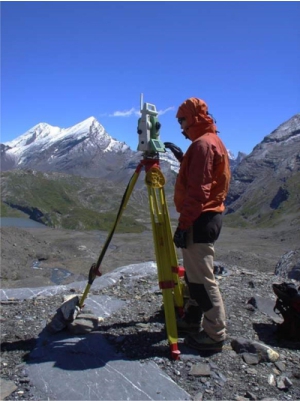
The survey has to gather target spatial data and to make them spatially with respect to objects, or a coordinate system. Here geo-referenced vector, raster or image data to be created, which serve as the basis for spatial modelling and representations. As part of the training at GIUB students the basics of terrestrial surveying (Surveying, levelling, GNSS) and the airborne survey (photogrammetry, laser scanning) will be taught.